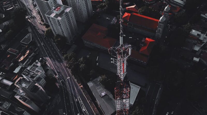
Unlocking the Power of Neighborhood Analysis with Drone Technology
Imagine soaring above your neighborhood, capturing every detail from above with a bird’s eye view. This futuristic scenario is no longer just a dream but a reality thanks to the advancements in drone technology. Drones, also known as unmanned aerial vehicles (UAVs), have revolutionized various industries, including real estate, agriculture, and filmmaking. One of the most intriguing applications of drones is neighborhood analysis. In this comprehensive guide, we will delve deep into the world of neighborhood analysis with drone tech, exploring its benefits, challenges, and future possibilities.
The Evolution of Drone Technology
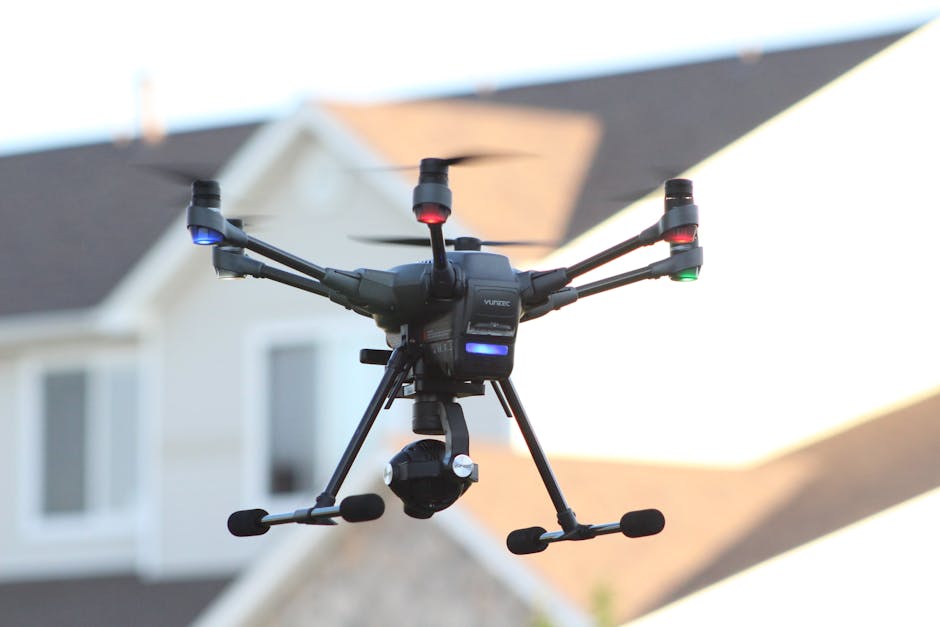
The origins of drone technology can be traced back to the early 20th century when the first primitive unmanned aerial vehicles were developed for military purposes. Over the decades, drones have undergone significant advancements in terms of design, capabilities, and affordability. Today, drones come in various shapes and sizes, equipped with high-resolution cameras, GPS systems, and obstacle avoidance technology.
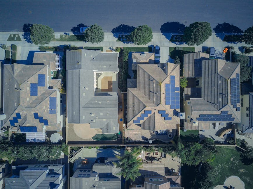
Neighborhood analysis with drone tech leverages these cutting-edge features to provide detailed insights into various aspects of a community, from infrastructure to demographics. By capturing aerial footage and images, drones offer a unique perspective that is invaluable for urban planning, real estate development, and disaster response.
Benefits of Neighborhood Analysis with Drone Technology
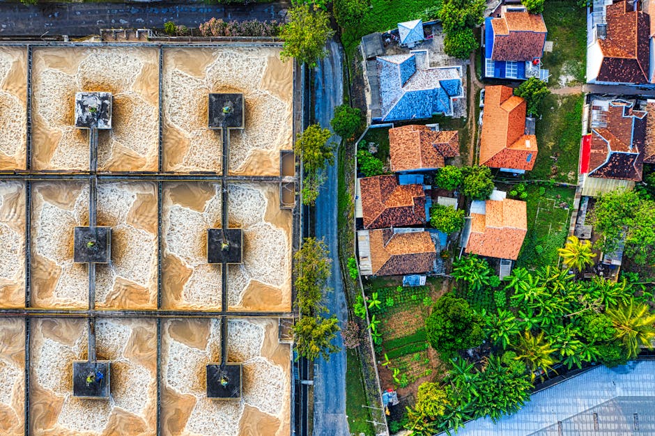
1. Enhanced Data Collection: Drones can collect vast amounts of data in a short period, allowing for more comprehensive and accurate neighborhood analysis. From measuring land use to assessing environmental factors, drones provide a wealth of information that can inform decision-making processes.
2. Cost-Effective Solutions: Traditional methods of neighborhood analysis such as land surveys and aerial photography can be time-consuming and expensive. Drones offer a cost-effective alternative that requires minimal resources and manpower. This makes neighborhood analysis accessible to a wider range of organizations and individuals.
3. Improved Safety and Efficiency: Drones can access hard-to-reach areas and dangerous locations without putting human lives at risk. This is particularly beneficial in disaster response scenarios, where drones can quickly assess damage and identify areas in need of assistance.
Real-World Applications of Neighborhood Analysis with Drone Technology
Real estate developers use drones to conduct site surveys and assess the potential of a property for development. By capturing aerial images and videos, developers can gain valuable insights into the surrounding neighborhood, including nearby amenities, traffic patterns, and land use.
City planners rely on drones to analyze urban infrastructure and identify areas in need of improvement. By conducting aerial surveys, planners can assess the condition of roads, bridges, and public spaces, leading to more informed decisions about infrastructure development and maintenance.
Challenges and Controversies in Neighborhood Analysis with Drone Technology
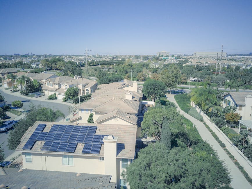
Despite the numerous benefits of using drones for neighborhood analysis, there are also challenges and controversies surrounding their use. One of the main concerns is privacy infringement, as drones can capture images and videos of private property without consent. This has raised questions about the ethical implications of drone surveillance and the need for regulations to protect individual privacy rights.
Another challenge is the potential for drone technology to be misused for malicious purposes, such as spying or conducting unauthorized surveillance. As drones become more accessible to the general public, there is a growing need for regulations and enforcement mechanisms to prevent misuse and ensure responsible use of this technology.
Future Trends in Neighborhood Analysis with Drone Technology
The future of neighborhood analysis with drone technology looks promising, with ongoing advancements in drone capabilities and data analytics. Machine learning algorithms are being developed to analyze drone-captured data and extract valuable insights that can inform urban planning decisions.
As drones become more integrated into everyday life, there is a growing need for collaboration between government agencies, private companies, and community stakeholders to ensure responsible and ethical use of drone technology. By harnessing the power of drones for neighborhood analysis, we can create more sustainable, efficient, and resilient communities for the future.
Expert Opinions on Neighborhood Analysis with Drone Technology
According to Dr. Sarah Johnson, a leading expert in urban planning, “Drones have revolutionized the way we analyze neighborhoods, providing us with a wealth of data that was previously inaccessible. By leveraging drone technology, we can make more informed decisions about community development and create inclusive urban spaces that meet the needs of all residents.”
Common Misconceptions About Neighborhood Analysis with Drone Technology
One common misconception about neighborhood analysis with drone technology is that it is only applicable to large-scale projects. In reality, drones can be used for neighborhood analysis at all scales, from individual properties to entire cities. By capturing high-resolution aerial images, drones can provide valuable insights into various aspects of a community, regardless of its size.
Conclusion
To wrap things up, neighborhood analysis with drone technology offers a unique and valuable perspective on community development and urban planning. By leveraging the power of drones, we can gather data, make informed decisions, and create more sustainable and resilient neighborhoods for the future. As drone technology continues to evolve, it is essential to address challenges such as privacy concerns and misuse to ensure the responsible and ethical use of drones in neighborhood analysis.

