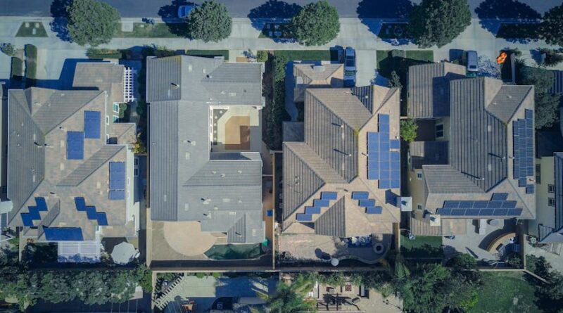
Exploring Neighborhood Analysis with Drone Tech
Imagine soaring above your neighborhood, seeing every detail from a bird’s eye view. Now, imagine doing this not just for leisure, but for a purpose to analyze, assess, and improve the very fabric of your community. This is the promise of neighborhood analysis with drone technology. In this article, we delve deep into this innovative approach, uncovering its applications, benefits, and the potential it holds for shaping our cities and towns.
The Rise of Drone Technology
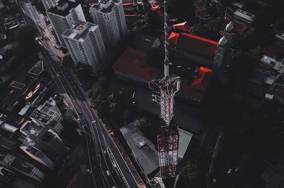
The use of drones, also known as unmanned aerial vehicles (UAVs), has skyrocketed in recent years. Originally developed for military purposes, drones have found their way into various civilian applications, from photography and videography to agriculture and construction. One of the most promising areas where drones are making a significant impact is neighborhood analysis.
By equipping drones with high-resolution cameras, thermal imaging sensors, LiDAR technology, and other advanced tools, professionals can now conduct detailed surveys and assessments of neighborhoods with unprecedented accuracy and efficiency. This opens up a world of possibilities for urban planners, real estate developers, environmentalists, and local authorities seeking to better understand and enhance their communities.
The Benefits of Neighborhood Analysis with Drone Tech
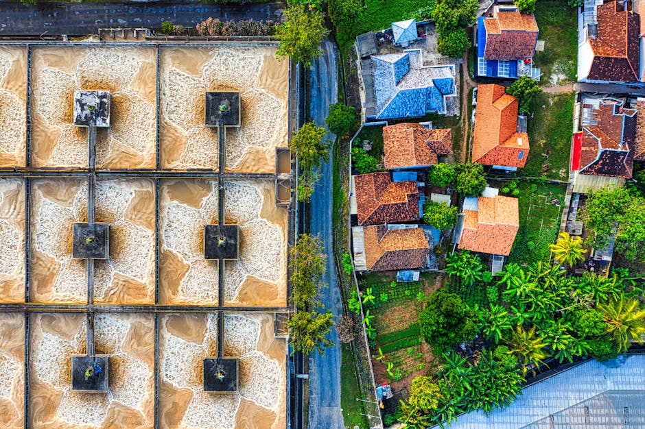
There are numerous benefits to leveraging drone technology for neighborhood analysis. Let’s explore some of the most significant advantages:
1. Cost-Effectiveness
Traditional methods of neighborhood analysis, such as ground surveys and manual inspections, can be time-consuming and expensive. Drones offer a cost-effective alternative, allowing professionals to collect data quickly and accurately without the need for extensive manpower or resources.
2. Enhanced Data Collection
With drones, it’s possible to capture high-resolution aerial images, 3D models, and thermal data of neighborhoods in a fraction of the time it would take using traditional methods. This wealth of data provides a comprehensive view of the area, enabling planners to identify patterns, trends, and potential issues that may be overlooked otherwise.
3. Improved Safety
Neighborhood analysis often involves assessing hazardous or hard-to-reach areas, such as rooftops, bridges, or unstable structures. Drones can access these areas safely, eliminating the need for human workers to put themselves at risk. This not only enhances safety but also allows for more thorough inspections of areas that are otherwise challenging to access.
4. Real-Time Monitoring
Drones equipped with live video feeds and GPS capabilities can provide real-time monitoring of neighborhoods, allowing for immediate responses to emergencies, natural disasters, or other critical events. This level of situational awareness can help authorities make informed decisions quickly, potentially saving lives and minimizing damage.
Applications of Neighborhood Analysis with Drone Tech
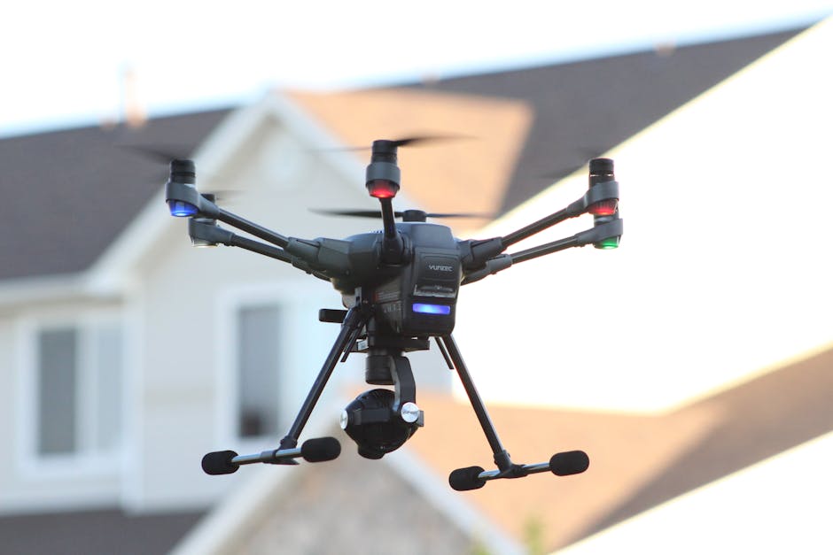
Neighborhood analysis with drone technology has a wide range of applications across different sectors. Let’s explore some of the most common uses:
1. Urban Planning
Urban planners can use drones to conduct aerial surveys of neighborhoods, analyze land use patterns, traffic flow, and infrastructure needs. This data can inform the development of more efficient and sustainable urban environments, ensuring that cities are designed with the needs of residents in mind.
2. Environmental Conservation
Environmentalists can leverage drones to monitor ecosystems, track wildlife populations, and assess the impact of human activities on natural habitats. By combining drone data with geographic information systems (GIS), researchers can gain valuable insights into the health of ecosystems and make informed conservation decisions.
3. Disaster Response
In the aftermath of natural disasters such as hurricanes, floods, or wildfires, drones can be deployed to assess damage, locate survivors, and plan rescue operations. By quickly surveying affected areas from the air, emergency responders can prioritize their efforts and allocate resources effectively, speeding up the recovery process.
4. Real Estate Development
Real estate developers can use drones to conduct site surveys, create 3D models of properties, and showcase projects to potential buyers. By providing a bird’s eye view of neighborhoods and properties, drones help developers make informed decisions, market their projects effectively, and enhance the overall customer experience.
Challenges and Controversies
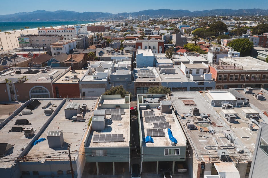
While neighborhood analysis with drone technology holds immense promise, it also raises certain challenges and controversies. Some of the key issues to consider include:
1. Privacy Concerns
The use of drones for neighborhood analysis raises privacy concerns, as these devices can capture images and data without the consent of residents. Striking a balance between the benefits of drone technology and the protection of individual privacy rights is essential to ensure ethical and responsible use of this technology.
2. Regulatory Hurdles
Regulations surrounding drone use vary from country to country and can pose challenges for professionals seeking to leverage this technology for neighborhood analysis. Ensuring compliance with local laws, obtaining permits, and addressing concerns about airspace safety are critical considerations for drone operators.
3. Data Security Risks
The data collected by drones during neighborhood analysis can be vulnerable to security breaches, hacking, or misuse. Safeguarding this data against unauthorized access and ensuring its integrity and confidentiality are essential to protect the privacy and rights of individuals and communities.
Future Implications of Neighborhood Analysis with Drone Tech
Looking ahead, the future of neighborhood analysis with drone technology is full of exciting possibilities. As drones become more advanced, autonomous, and integrated with artificial intelligence and machine learning algorithms, we can expect to see even greater applications and benefits in the years to come.
From predictive analytics that anticipate neighborhood trends to autonomous drones that perform inspections and maintenance tasks, the potential for innovation in this field is vast. By harnessing the power of drone technology responsibly and ethically, we can transform the way we understand, design, and manage our neighborhoods for the better.
Conclusion
To wrap things up, neighborhood analysis with drone technology represents a powerful tool for gaining insights, making informed decisions, and shaping the future of our communities. By combining the precision and efficiency of drones with the expertise of professionals in various sectors, we can unlock new possibilities for urban planning, environmental conservation, disaster response, and real estate development.
As we navigate the opportunities and challenges of integrating drone technology into neighborhood analysis, it’s essential to prioritize ethical considerations, data security, and regulatory compliance. By doing so, we can ensure that this innovative approach enhances our communities in a sustainable and responsible manner, creating a brighter future for all.

