Creating Interactive Property Maps with Drone Footage
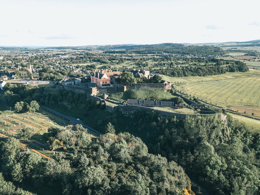
Imagine being able to explore a property from the comfort of your own home, getting a bird’s eye view of the landscape, the layout, and the surrounding area. Thanks to advancements in technology, creating interactive property maps with drone footage has become a reality. This innovative approach not only revolutionizes the way properties are showcased but also provides a unique perspective for buyers, sellers, and real estate professionals alike.
In this article, we will delve into the fascinating world of creating interactive property maps with drone footage. From the history of drones in real estate to the current applications and future implications, we will explore the various aspects of this cutting-edge technology. So, buckle up as we take a deep dive into the world of aerial mapping and its impact on the real estate industry.
The Evolution of Drones in Real Estate

The use of drones in real estate has come a long way since their inception. Initially used primarily for military purposes, drones have now found their way into various industries, including real estate. The ability of drones to capture high-quality aerial footage has made them invaluable tools for showcasing properties in a unique and engaging way.
Real estate agents and property developers have quickly recognized the potential of drones in marketing properties. By providing potential buyers with a bird’s eye view of a property, drones offer a comprehensive understanding of the layout, size, and surroundings, ultimately enhancing the buying experience.
One of the key advantages of using drones in real estate is the ability to create interactive property maps. These maps allow users to navigate through a property virtually, providing a 360-degree view of the area. By combining drone footage with interactive mapping software, real estate professionals can offer a truly immersive experience to their clients.
The Process of Creating Interactive Property Maps

Creating interactive property maps with drone footage involves several steps, each essential for capturing the property in its entirety. The process typically begins with scouting the location and planning the flight path. This step is crucial for ensuring that the drone captures all relevant areas of the property.
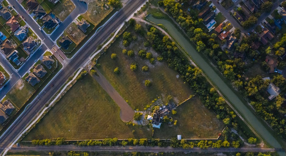
Once the flight path has been planned, the drone is launched, and the aerial footage is captured. High-quality cameras mounted on the drone capture detailed images and videos of the property from various angles. These images are then stitched together to create a seamless, interactive map of the property.
After the footage has been captured, it is processed using specialized software that allows for the creation of interactive maps. This software enables real estate professionals to add interactive elements such as clickable hotspots, detailed descriptions, and even virtual walkthroughs of the property.
The final step in creating interactive property maps is to host the maps on a website or platform where potential buyers can access them. By providing easy access to these maps, real estate professionals can attract more buyers and offer a unique selling point for their listings.
The Benefits of Interactive Property Maps

There are numerous benefits to using interactive property maps created with drone footage in the real estate industry. One of the key advantages is the ability to provide a comprehensive view of a property to potential buyers. By allowing users to explore the property virtually, real estate professionals can showcase all aspects of the property, from the layout to the surrounding area.
Interactive property maps also enhance the marketing efforts of real estate professionals. By offering a unique and engaging experience to potential buyers, these maps can help properties stand out in a crowded market. Additionally, interactive maps can attract a wider audience, including out-of-town buyers who may not be able to visit the property in person.
Furthermore, interactive property maps can save time for both buyers and sellers. Instead of scheduling multiple property visits, buyers can explore the property virtually and narrow down their choices before visiting in person. This streamlines the buying process and can lead to faster sales for sellers.
Case Studies: Success Stories in Real Estate

Several real estate professionals have leveraged interactive property maps created with drone footage to achieve success in their marketing efforts. One such success story is that of a luxury real estate agency that used interactive maps to showcase high-end properties to international buyers.
By offering virtual property tours through interactive maps, the agency was able to attract buyers from around the world who were unable to visit the properties in person. This innovative approach not only increased the agency’s sales but also helped them establish a reputation for using cutting-edge technology in the real estate industry.
Another case study involves a property developer who used interactive property maps to showcase a new development project. By providing potential buyers with a virtual tour of the property, the developer was able to generate significant interest and secure pre-sales before the project was completed.
These success stories highlight the effectiveness of using interactive property maps created with drone footage in the real estate industry. By embracing technology and offering unique experiences to buyers, real estate professionals can stay ahead of the competition and drive sales.
The Future of Interactive Property Maps
As technology continues to evolve, the future of interactive property maps looks promising. Advancements in drone technology, artificial intelligence, and virtual reality are likely to further enhance the capabilities of interactive mapping software, offering even more immersive experiences for users.
One exciting development on the horizon is the integration of augmented reality (AR) into interactive property maps. By overlaying digital information onto the real-world environment, AR can provide users with a truly interactive and personalized experience when exploring a property.
Additionally, the use of drones equipped with sensors and AI algorithms could revolutionize the way properties are inspected and evaluated. From detecting structural issues to assessing property values, drones have the potential to streamline the property assessment process and provide more accurate information to buyers and sellers.
Overall, the future of interactive property maps with drone footage is bright, with endless possibilities for innovation and advancement. By staying at the forefront of technology and embracing new developments, real estate professionals can continue to offer unique and engaging experiences to their clients.
Common Misconceptions About Interactive Property Maps
Despite the numerous benefits of interactive property maps created with drone footage, there are still some misconceptions surrounding this innovative technology. One common misconception is that interactive maps are only suitable for high-end properties or luxury real estate.
In reality, interactive property maps can be used for properties of all types and price ranges. Whether showcasing a modest family home or a sprawling estate, interactive maps can provide valuable insights to potential buyers and help properties stand out in a competitive market.
Another misconception is that creating interactive property maps with drone footage is expensive and time-consuming. While there are costs associated with drone technology and software, the long-term benefits far outweigh the initial investment. Additionally, advances in technology have made the process more efficient and cost-effective, allowing real estate professionals of all sizes to utilize this tool.
Conclusion
To wrap things up, creating interactive property maps with drone footage is a game-changer in the real estate industry. By providing a unique and immersive experience to potential buyers, real estate professionals can attract more interest, drive sales, and stay ahead of the competition.
From the evolution of drones in real estate to the future of interactive mapping technology, the possibilities are endless. By embracing innovation and staying at the forefront of technology, real estate professionals can leverage interactive property maps to revolutionize the way properties are marketed and sold.
So, whether you’re a real estate agent looking to showcase your listings in a new light or a property developer aiming to attract buyers from around the world, consider integrating interactive property maps created with drone footage into your marketing strategy. The future of real estate marketing is here, and it’s time to take flight.


