Enhancing Rural Listings with Drones
As technology continues to advance at an exponential rate, industries across the board are reaping the benefits of innovative solutions. One such industry that has seen a significant transformation is real estate, particularly in showcasing rural properties. Traditionally, rural listings have posed unique challenges due to the vast landscapes and remote locations. However, with the advent of drones, the game has changed entirely.
Drones, also known as unmanned aerial vehicles (UAVs), have become an essential tool for enhancing rural listings. These small, unmanned aircraft equipped with cameras have revolutionized the way real estate agents, buyers, and sellers interact with rural properties. From capturing breathtaking aerial views to conducting inspections in hard-to-reach areas, drones have opened up a world of possibilities for showcasing rural listings like never before.
The Rise of Drones in Real Estate
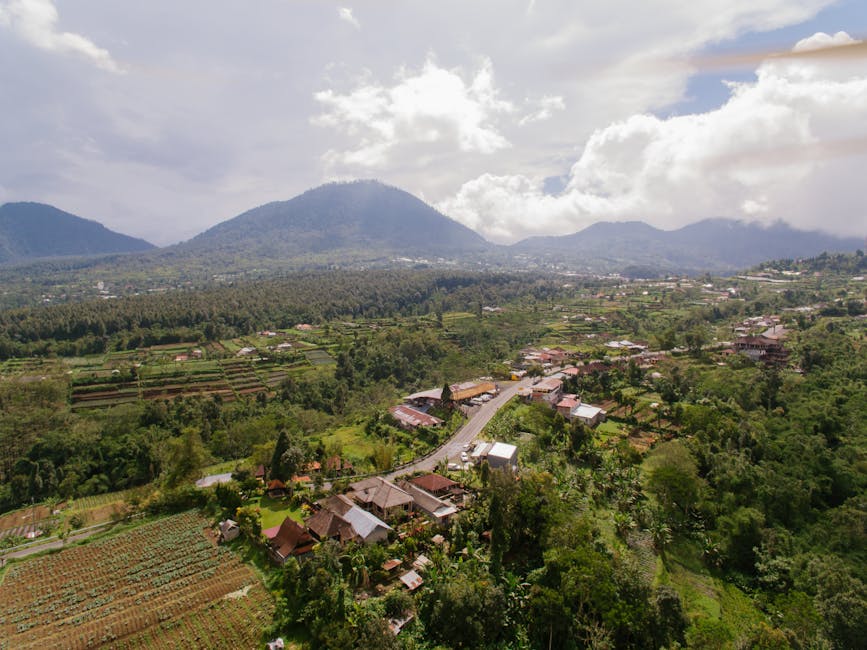
With the rise of drone technology, the real estate industry has witnessed a shift towards more dynamic and visually appealing listings. Instead of relying solely on traditional methods such as photographs and ground-level videos, real estate agents are now utilizing drones to provide potential buyers with a comprehensive view of rural properties.
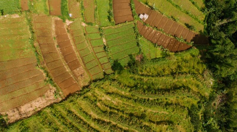
By capturing stunning aerial shots and videos, drones can showcase the entirety of a rural property, including its surroundings and unique features. This not only gives buyers a better sense of the property’s layout and potential but also allows them to experience the property from a whole new perspective.
Moreover, drones have made it easier for real estate agents to market rural properties to a broader audience. With the ability to create compelling visual content, agents can attract more potential buyers and generate greater interest in rural listings. Additionally, drones have streamlined the process of conducting property inspections, saving time and resources for both agents and buyers.
The Benefits of Using Drones in Rural Real Estate
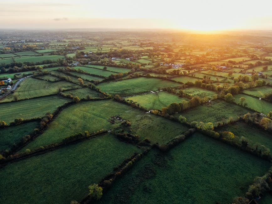
There are numerous benefits to using drones in rural real estate listings. One of the most significant advantages is the ability to capture high-quality aerial footage that showcases the beauty and scale of rural properties. Drones can navigate challenging terrain and capture images from various angles, providing a comprehensive view of the property and its surroundings.
Additionally, drones allow real estate agents to create engaging and immersive virtual tours of rural properties. By combining aerial footage with ground-level shots, agents can create interactive experiences that give buyers a sense of actually being on the property. This not only enhances the listing but also helps buyers make more informed decisions about the property.
Furthermore, drones can significantly reduce the time and cost associated with showcasing rural properties. Instead of hiring helicopters or planes to capture aerial footage, agents can simply deploy a drone to get the job done quickly and efficiently. This not only saves money but also allows agents to showcase multiple properties in a shorter amount of time.
Challenges and Considerations
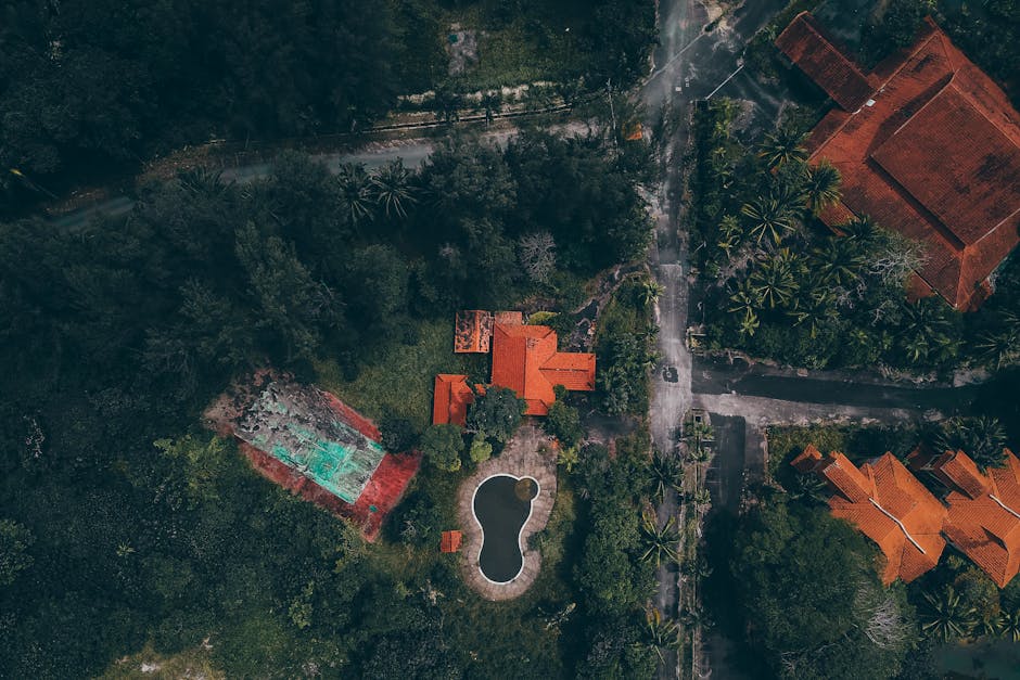
While drones offer numerous benefits for enhancing rural listings, there are also some challenges and considerations that real estate agents should keep in mind. One of the primary concerns is the legal and regulatory framework surrounding drone usage. Agents must ensure they are compliant with all local laws and regulations regarding drone operations, including obtaining the necessary permits and licenses.
Another challenge is the potential for privacy issues when using drones to capture aerial footage of rural properties. Agents must be mindful of neighboring properties and individuals’ privacy rights when flying drones over rural areas. It is essential to respect boundaries and obtain consent from property owners before capturing any footage.
Additionally, agents should consider the limitations of drone technology, such as battery life and weather conditions. Drones have a limited flight time, so agents must plan their aerial shots carefully to maximize efficiency. Weather conditions, such as wind and rain, can also impact the drone’s ability to capture high-quality footage, so agents should take these factors into account when scheduling drone flights.
Case Studies: Success Stories in Rural Real Estate
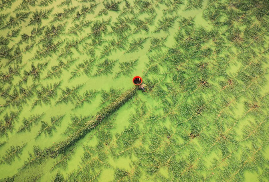
Several real estate agencies have embraced drone technology to enhance their rural listings successfully. One such success story is that of a rural property in the rolling hills of Tuscany, Italy. By using drones to capture breathtaking aerial footage of the property’s vineyards and olive groves, the real estate agent was able to attract a global audience of potential buyers.
In another case, a remote mountain cabin in the Rockies was listed using drone footage to showcase the property’s proximity to hiking trails and breathtaking views. The immersive aerial shots provided by the drone helped the property stand out in a competitive market and ultimately led to a quick sale.
These success stories highlight the power of drone technology in enhancing rural real estate listings and attracting buyers from around the world. By leveraging drones to showcase the unique features and beauty of rural properties, real estate agents can set themselves apart and reach a wider audience of potential buyers.
Future Implications and Trends
Looking ahead, the future of drones in rural real estate looks promising. As drone technology continues to evolve and become more accessible, we can expect to see even more innovative uses of drones in showcasing rural properties. From interactive 3D mapping to augmented reality tours, drones have the potential to revolutionize the way buyers experience rural listings.
Moreover, advancements in drone technology, such as longer flight times and improved camera quality, will further enhance the capabilities of drones in capturing high-quality aerial footage. This will allow real estate agents to create even more compelling and engaging listings that attract buyers and drive sales.
Additionally, as more real estate agencies adopt drone technology, we can anticipate a shift in buyer expectations. Buyers will come to expect immersive virtual tours and aerial footage as standard features of rural listings, prompting agents to invest in drone technology to stay competitive in the market.
Conclusion
To wrap things up, drones have become indispensable tools for enhancing rural listings in the real estate industry. By capturing stunning aerial footage, creating immersive virtual tours, and streamlining the showcasing process, drones have revolutionized the way rural properties are marketed and sold.
As drone technology continues to advance and become more accessible, we can expect to see even more innovative uses of drones in rural real estate. From interactive 3D mapping to augmented reality tours, the possibilities are endless. By embracing drone technology, real estate agents can set themselves apart, attract more buyers, and drive sales in the competitive market.
Whether you’re a real estate agent looking to showcase rural properties or a buyer seeking a unique perspective on your next investment, drones offer a game-changing solution that is reshaping the way we experience rural listings. Embrace the future of real estate with drones and elevate your rural listings to new heights.

